Schools & education

An example point map created in Vizall

How to make point maps: Visualise places of interest and more

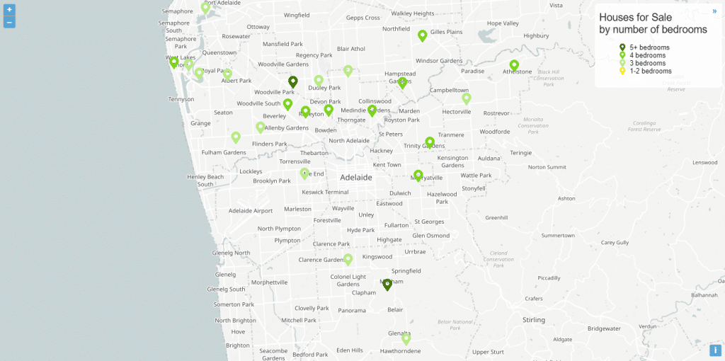
POINT maps are a fantastic way to visualise data, such as house listings, schools and other points of interest on a map. They can be published to a wider audience online, or tailored for specific clients. Recently we launched point maps as a new feature in Vizall. To make one, simply create a free account, …

How to make point maps: Visualise places of interest and more Read More »

Point maps are here: Visualise house listings, events and more

Point Maps are here! This has been an aspirational goal for the team for a long time. We are excited to finally show off what can be done with this new feature. To get point maps into Vizall there were three important changes we needed to implement. Address data type & validation (geocoding) – this …

Point maps are here: Visualise house listings, events and more Read More »

How to visualise Australian school zones on a map

WE HAVE added Australian school zones to our interactive maps, so we’ve put together this guide to help you get the most out of your school-based data. What does that mean exactly? We’ll talk about: Setting up an interactive map with school zones Using the new school zone boundaries in Vizall, you can create interactive …

How to visualise Australian school zones on a map Read More »